The Neighborhood
The Most Walkable Neighborhood in Medellín
The Laureles neighborhood in Medellín, Colombia is considered by many to be the most livable and walkable neighborhood in the city. It was planned in 1943 by the distinguished Colombian artist, engineer, and architect Pedro Nel Gómez, assisted by Austrian architect Karl Brunner.
Originally called Ciudadela del Empleado — the Citadel of the Employee — it was conceived as a working-class community. Though those initial plans were abandoned for lack of resources, the neighborhood became one of the most desirable addresses in the city, prized by the upper-middle class for its boulevard-lined streets, mature tree canopy, and remarkable mix of uses.
In October 2023, Time Out magazine officially named Laureles the world's coolest neighbourhood, a recognition circulated by CNN and picked up by all major Colombian news outlets. The designation reflects what residents have long known: that Laureles offers a rare urban quality of life — walkable, green, vibrant, and humane in scale.
This site assembles historical information, photographs, videos, and ongoing observations about the community of Laureles for residents, visitors, and the simply curious — accessible to all, without requiring a Facebook account.
Key Walkability Features
- Flat terrain — unlike the hilly streets of El Poblado, Laureles is very flat, making it ideal for walking and cycling year-round
- "Garden city" layout — wide, tree-lined circular avenues and numerous parks offer a pleasant, green pedestrian experience
- Dense amenities — almost everything for daily life (Éxito, Carulla, banks, cafés, gyms) is within a 5–15 minute walk
- Active transportation — dedicated cycling lanes and numerous EnCicla free public bike stations throughout the neighborhood
- Coherent structure — organized around 33rd Street and 70th Avenue, creating distinct and accessible zones for commerce and residential living
- Metro access — Line B at Estadio and Suramericana stations connects to the wider Medellín metropolitan area
- World recognition — voted World's Coolest Neighbourhood by Time Out, October 2023
Origins & Urban Design
How Laureles Became What It Is
Planning & Origins
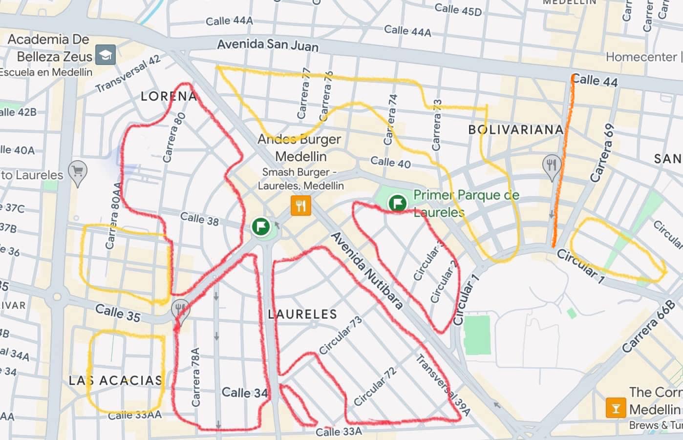
Breaking away from the typical rectilinear urban planning that preceded it, Laureles drew inspiration from Paris and other European cities with its concentric avenues, diagonal streets, divided boulevards, and roundabouts. The heart of the community, Segundo Parque or "second" park, was actually the first park built in Laureles — and also the first roundabout (locally called a glorieta or rompoy) built in Medellín.
Front Gardens & the Tree Canopy
The requirement to provide antijardines — front gardens — was not common practice in Medellín at the time and ultimately had a profound effect on the neighborhood's character. These garden zones, combined with generous road rights-of-way, could accommodate tree lawns and divided boulevards. The result is the verdant, shaded street environment that defines Laureles today and contributes significantly to its walkable character.
Mixed Use & Walkability
Initially, Laureles was primarily a single-family bedroom community with little commercial development. Mixed-use development came later, as single-family homes were converted into multifamily buildings and ground-floor commercial space followed the demand of a growing population. Former homes became daycare centers, convenience stores, vegetable markets, cafés, and restaurants.
The section of Avenida Jardín between Primer and Segundo parks has evolved into the second-largest concentration of restaurants in Medellín after Provenza/Parque Lleras in Poblado. The availability of services so proximate to residents provides the essential impetus for walking rather than driving.
Room for Improvement
While Laureles offers a vibrant and walkable lifestyle, there is room for improvement. Restaurant encroachment into residential districts has brought parking pressure and noise on weekend nights. Pedestrian accessibility for the disabled needs attention — many sidewalks have abrupt transitions and frequently lack curb ramps at intersections. Crime has also shown an increase in recent years, and stricter enforcement of noise ordinances would benefit residents significantly.
Building heights were at some point allowed to increase to 20 or more floors (12 stories is the current maximum), creating parking ramps that often dominate the ground-floor façade. A five-story limit would have resulted in a more pedestrian-scale environment with less burden on traffic — a lesson for future policy.
The Wikipedia Overview
For those interested in further detail: Laureles–Estadio (Comuna 11) covers 741 hectares in the central-western part of the city, bounded by the La Iguaná ravine to the north, the Medellín River to the east, and the districts of Belén and La América to the south and west. The 2005 census recorded a population of 116,839, predominantly strata 5 (72.9%) and strata 4 (25.6%). It is served by Metro Line B at Floresta, Suramericana, and Estadio stations.
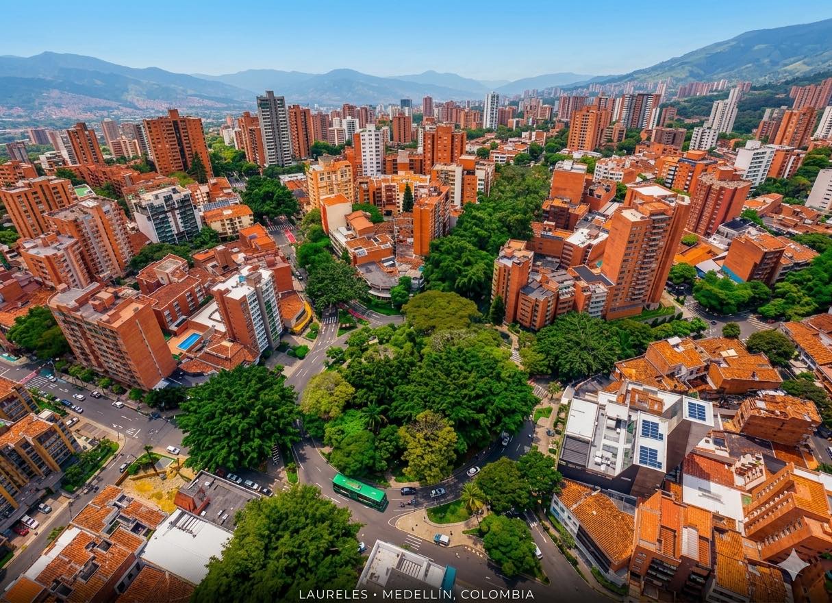
Laureles today — verdant boulevards, compact blocks, and a lively mix of uses.
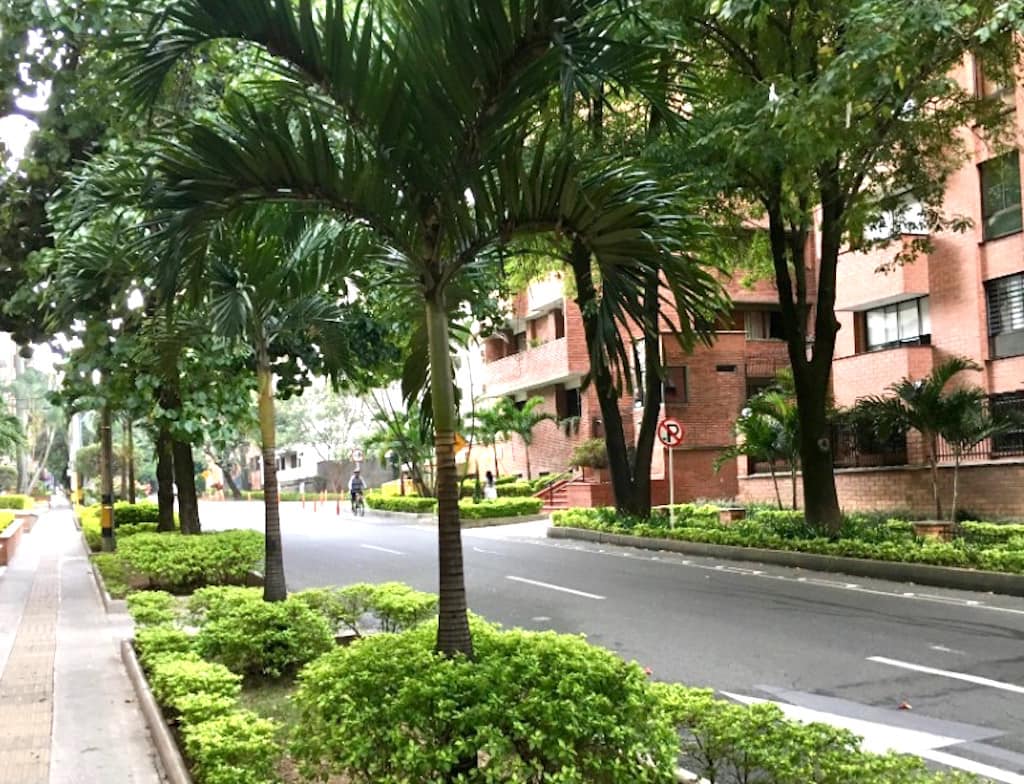
The characteristic antijardines (front gardens) and tree canopy that define Laureles streetscapes.
Photography
Laureles in Images
Film & Video
Laureles on Video

A comprehensive guide to the Laureles neighborhood — streets, parks, restaurants, and what makes it Medellín's most walkable district.
Watch on YouTube →
Video about Laureles produced by EPM. In Spanish — activate YouTube captions for English subtitles via the YouTube app.
Watch on YouTube →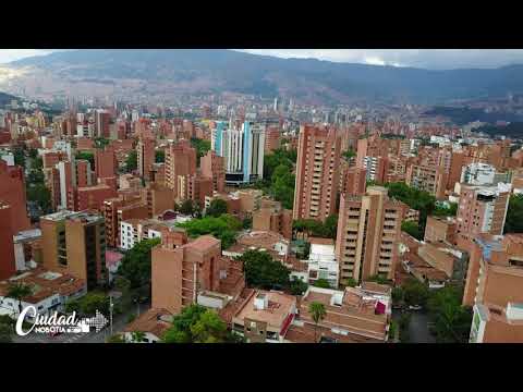
Drone tour of Laureles with narration. English captions available when viewed in the YouTube app.
Watch on YouTube →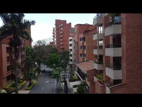
Drone tour of the area adjacent to the Santa Ana apartment building near the Santa Teresita church in Barrio Laureles.
Watch on YouTube →News & Notes